Showing posts with label Clouds. Show all posts
Monday, August 20, 2012
Thursday, October 13, 2011
Interesting Clouds
As a cold front moved into the area, some straggly mammatus clouds were forming overhead. A cumulonimbus cloud looms in the background. The day (about a week ago) started out warm; we hadn't had rain in weeks; however, there's a lot of water in ponds and sloughs so the air was more humid than usual .
It all looked rather ominous, but other than the wind picking up and a slight drop in temperature, nothing much happened as this bit of weather moved through.
Wikipedia:
http://en.wikipedia.org/wiki/Mammatus_cloudMammatus are most often associated with the anvil cloud and also severe thunderstorms. They often extend from the base of a cumulonimbus, but may also be found under altocumulus, altostratus, stratocumulus, and cirrus clouds, as well as volcanic ash clouds. In the United States, sky gazers may be most familiar with the very distinct and more common cumulonimbus mammatus. When occurring in cumulonimbus, mammatus are often indicative of a particularly strong storm or maybe even a tornadic storm. Due to the intensely sheared environment in which mammatus form, aviators are strongly cautioned to avoid cumulonimbus with mammatus.
Mammatus may appear as smooth, ragged or lumpy lobes and may be opaque or semitransparent. Because mammatus occur as a grouping of lobes, the way they clump together can vary from an isolated cluster to a field of mamma that spread over hundreds of kilometers to being organized along a line, and may be composed of unequal or similarly-sized lobes. The individual mammatus lobe average diameters of 1–3 km and lengths on average of 0.5 km. A lobe can last an average of 10 minutes, but a whole cluster of mamma can range from 15 minutes to a few hours. They usually are composed of ice, but also can be a mixture of ice and liquid water or be composed of almost entirely liquid water.
Friday, August 19, 2011
Wednesday, April 20, 2011
Taylorton Bridge No Longer Under Water
A day makes a difference. The Souris water level has dropped a couple of feet in the past 24 hours.
Here is Taylorton Bridge as of this afternoon
River is still high
Lovely blue sky and puffy clouds
Tracks in the silt on the washed-over road. Mink, I think
Not quite idyllic, but getting better.....
Here is Taylorton Bridge as of this afternoon
River is still high
Lovely blue sky and puffy clouds
Tracks in the silt on the washed-over road. Mink, I think
Not quite idyllic, but getting better.....
(As always, click on pix to enlarge, if you want to)
Tuesday, August 31, 2010
Clouds
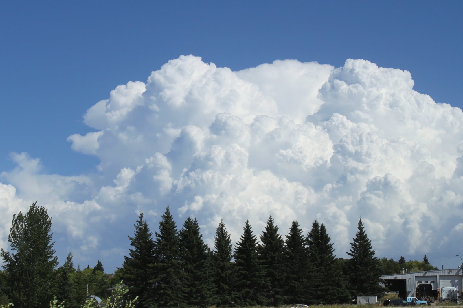
I was going through some photos this morning to find something to post about, and found these pix of a cloud formation in Manitoba sometime in July. I recall I was going to send them to TheWeatherNetwork to identify (haven't sent yet) beyond cumulous or cumulonimbus. The clouds were to the east of me mid-afternoon and I don't know if the clouds were forming or had already dumped their load of rain. Pretty fantastic formation.
Subscribe to:
Posts (Atom)