The Roger's Pass is located on the Trans-Canada Highway in Glacier National Park, 43 miles (70 km) east of Revelstoke and 50 miles (80 km) west of Golden.
At the pass summit. I think that is The Bonney Glacier - the sun was shining directly at me so not a great photo. This an absolutely stunning view on a clear day, driving West through the Pass.

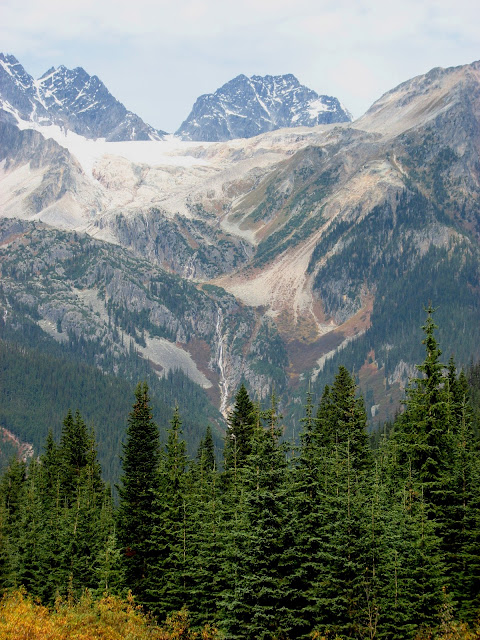
To the North and/or East (don't know what mountain or glacier this is)

A closer look at that glacier

Longer view - hey, a waterfall

Rogers Pass (elevation 1,330 m) is a high mountain pass through the Selkirk Mountains of British Columbia used by the Canadian Pacific Railway and the Trans-Canada Highway. The pass is a shortcut across the "Big Bend" of the Columbia River from Revelstoke on the west to Donald, near Golden on the east. The pass was discovered on May 29, 1881, by Major Albert Bowman Rogers, a surveyor working for the Canadian Pacific Railway. (from the above Wiki link)

To the North and/or East (don't know what mountain or glacier this is)

A closer look at that glacier


Road construction through the pass was completed in 1962, and travel over the pass today is safe and relatively free from the dangers of the "White Death" snow avalanches that claimed the lives of 250 railroad workers during the thirty year period that the CPR used the pass. Parks Canada operates the world's largest mobile avalanche control program to keep the Trans-Canada Highway and the Canadian Pacific Railway operating through Rogers Pass. Slopes adjacent to the highway are closed due to artillery fire. Other areas are reserved as test slopes or snow profile sites and must not be disturbed because of their importance to avalanche hazard forecasting.
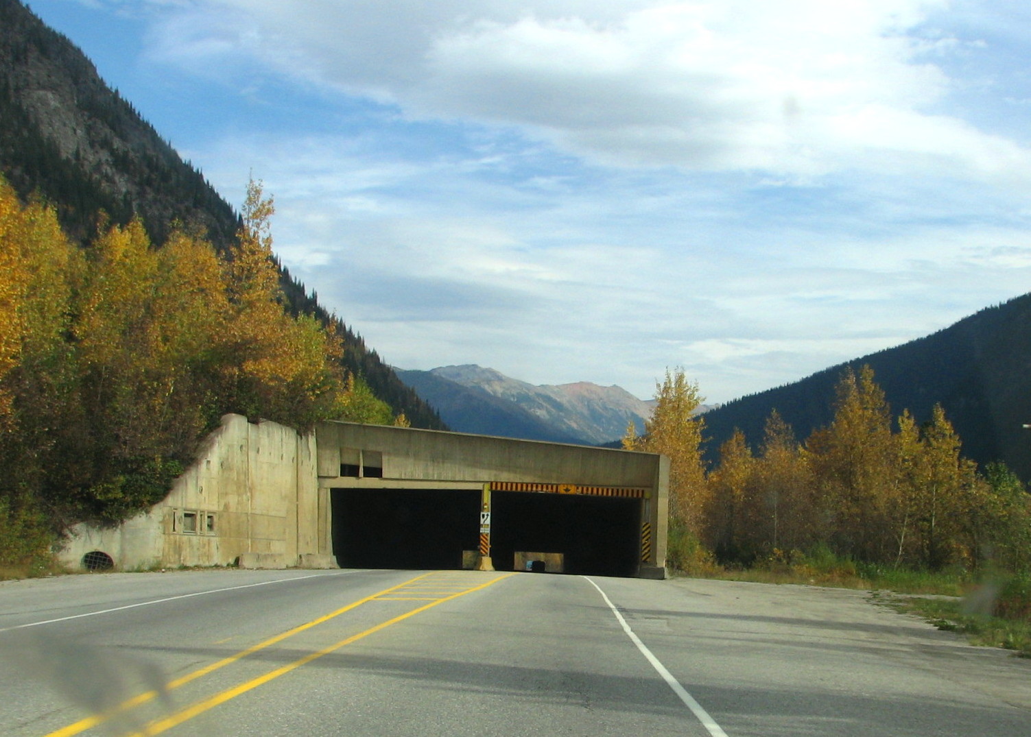
Here's a snow shed
No comments:
Post a Comment